Article content
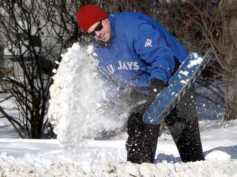
We all knew it was going to happen sooner or later and on Tuesday morning Environment Canada issued a special weather statement for Winnipeg — winter is upon us.
Article content
The national forecaster said a powerful low pressure system approaching from the south will bring precipitation to the Red River valley over the next couple of days. Significant rain is expected (Tuesday), with widespread accumulations of 15-25 mm.
The statement went on to say that as colder air wraps into the system, the precipitation will gradually change over to snow, beginning Tuesday afternoon in the western Red River Valley and this evening in Winnipeg. Snow will continue on Wednesday, although it could be mixed with rain in parts of the Red River Valley. By Wednesday evening snowfall accumulations will range from little if any near Lake Winnipeg to up to 15 cm in the western Red River Valley. Winnipeg will likely see an accumulation of a few cm of wet snow in this period.
With temperatures forecast to be close to zero, small changes in the track of this system could result in significant changes in snowfall that could impact weather-sensitive activities.
The majority of the precipitation will fall as snow in Western Manitoba where a winter storm warning is in effect and “significant snow” is expected. Total snowfall accumulations by Wednesday evening will range from 15 to 30 cm, said Environment Canada’s storm warning and possibly more over the higher terrain of western Manitoba.
Share this article in your social network