Year after year, the same three Winnipeg corridors account for the most vehicle collisions in the province.
Sections of Kenaston Boulevard, Abinojii Mikanah (formerly Bishop Grandin Boulevard) and McPhillips Street top Manitoba Public Insurance’s list of the most accident-prone intersections over the past three years.
From 2021 to 2023, three different intersections on Kenaston Boulevard accounted for 1,017 crashes. Three intersections along Abinojii Mikanah saw 973 collisions during that time while two on McPhillips Street saw 657.
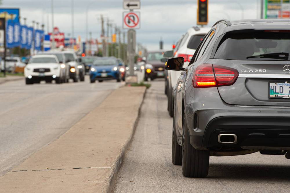
MIKE SUDOMA / Free Press Files
Looking north on McPhillips Street at rush hour: the north Winnipeg thoroughfare is in the Top 3 of MPI’s list of dangerous streets.
As far as single intersections go, Lagimodiere Boulevard at Regent Avenue West was crash king. The northeast Winnipeg intersection accounted for 387 crashes over the three-year period, MPI data shows. Leila Avenue at McPhillips Street ranks second at 380 collisions during the same time period.
Portage and Main accounted for 317 collisions, slotting the intersection at No. 5 on the list.
The data comes as no surprise to road safety advocate Mel Marginet.
“Safety and the access for the community is always sacrificed for the commuting speed of those travelling through, which is what these numbers show,” said Marginet.
A member of the Sustainable Transportation Team at Green Action Centre, Marginet said city planners have become too reliant on designing “stroads.” Stroads are corridors that take streets (designed to give commuters access to different local destinations) and combine them with roads (designed to get commuters from point A to point B quickly).
She criticized a planned expansion project on Kenaston for its reliance on the “stroad” design and said the multimillion-dollar project won’t make the road safer or more efficient.
“The argument is that it’s going to improve travel times, but what we know from induced demand and from the city’s own reporting on traffic along that road is that by the time that project is paid off, commuting times will have increased just due to induced demand there,” she said. “So it’s just going to cause more traffic, more bottlenecks.”
According to traffic volume data compiled by the city in 2023, on any given weekday some sections of Kenaston saw more than 77,000 cars per day, on average.
The city is currently looking for funding to overhaul a section of Kenaston between Ness and Taylor Avenues. The redesign, pegged at more than $700 million, would widen the street to three traffic lanes in each direction, install active transportation pathways on both sides and separate aging pipes to reduce combined sewer overflows.
On June 27, council approved the route’s preliminary design and the project was pushed to the 2025 investment planning process.
CAA community relations manager Ewald Friesen said roads haven’t kept pace with other forms of mobility, like cycling.
“A lot of the roads that were constructed decades ago were constructed with a different purpose,” Friesen said, referring to increased traffic volumes on roads like Kenaston.
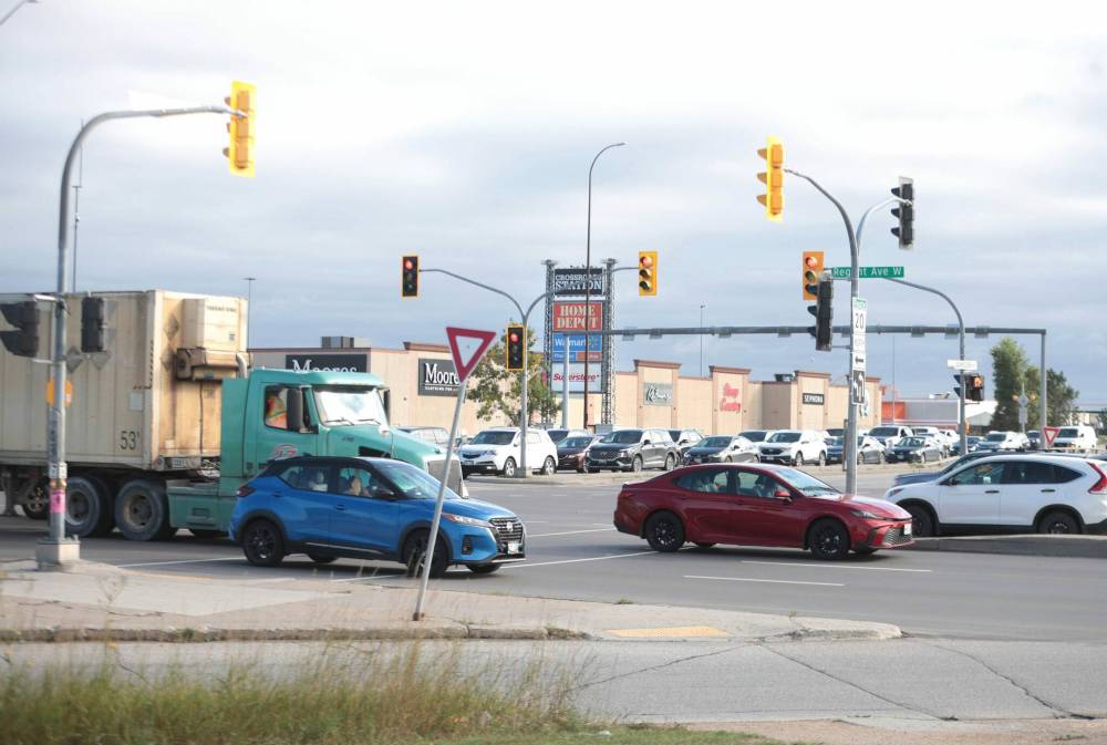
Ruth Bonneville / Free Press
The corner of Lagimodiere Boulevard and Regent Avenue is the worst single intersection for crashes, data shows.
“This has put us in a situation where we have road designs that are equipped for a reality that no longer exists.”
The city took capacity and a need for major changes like bridge reconstruction and adding lanes, as well as safety improvements into consideration when planning the Kenaston project, public works spokesperson Julie Dooley said.
The city handles issues where safety is a concern through its Road Safety Improvement Program and Road Safety Strategic Action Plan.
“We do not necessarily prioritize high-collision locations based on collision data alone. We consider collision data alongside a number of other factors and prioritize road safety improvements accordingly,” Dooley said in an email.
No councillor on the city’s public works committee was available for comment Tuesday or did not respond to requests for comment.
Friesen remains hopeful the city’s 3.5 per cent hike on property taxes in the 2024 budget of which two per cent was said to be used to repair roads, will address road infrastructure gaps as Winnipeg continues to grow.
To make streets safer for drivers, while keeping pedestrians and cyclists safe, Marginet says the city must be serious about its Winnipeg Transit Master Plan — which will overhaul the city’s transportation network and infrastructure — slated to launch in 2025.
The plan promises major changes to the transit system, including extending frequent transit lines to more areas of the city and nearly doubling the number of people who will be in walking distance of frequent transit service.
nicole.buffie@freepress.mb.ca

Nicole Buffie
Multimedia producer
Nicole Buffie is a multimedia producer who reports for the Free Press city desk. Born and bred in Winnipeg, Nicole graduated from Red River College’s Creative Communications program in 2020 and worked as a reporter throughout Manitoba before joining the Free Press newsroom in 2023. Read more about Nicole.
Every piece of reporting Nicole produces is reviewed by an editing team before it is posted online or published in print — part of the Free Press‘s tradition, since 1872, of producing reliable independent journalism. Read more about Free Press’s history and mandate, and learn how our newsroom operates.
Our newsroom depends on a growing audience of readers to power our journalism. If you are not a paid reader, please consider becoming a subscriber.
Our newsroom depends on its audience of readers to power our journalism. Thank you for your support.